LES HAUTS-MONTS (AMSV14)
Foot
in Mary
19.8
km
Foot
5h
Hard
-
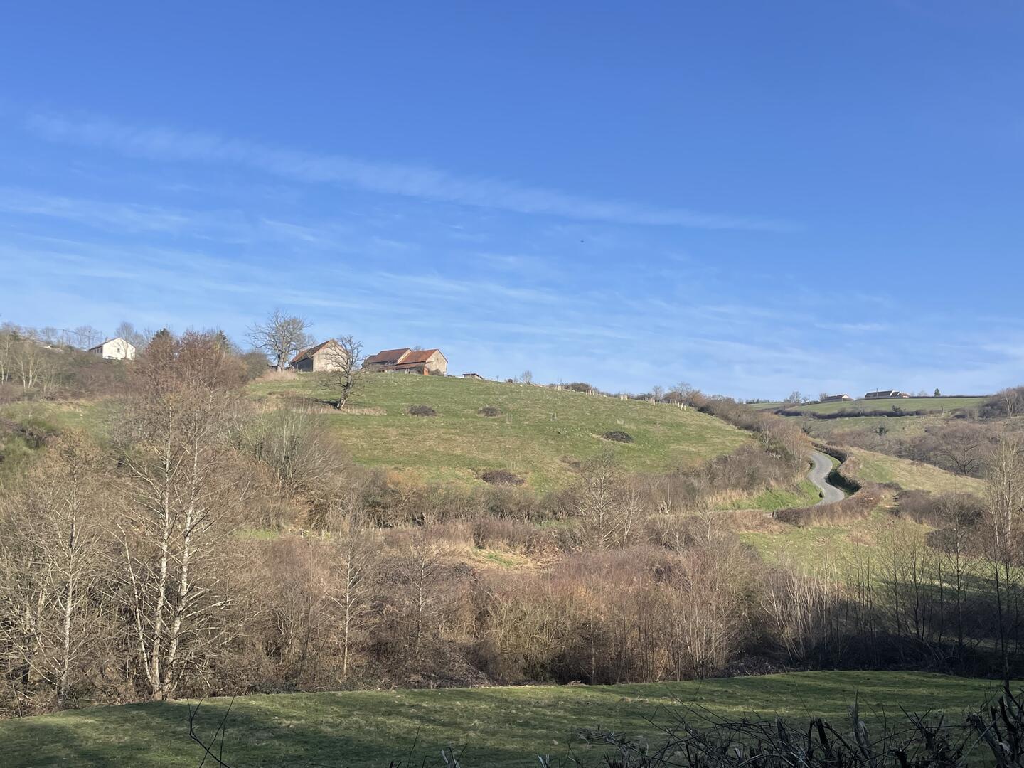
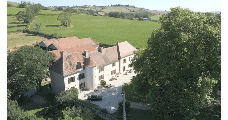
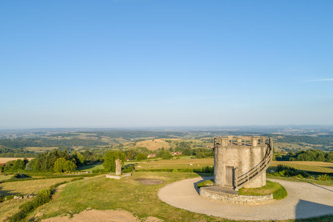
Mary enjoys panoramic views of the Guye Valley from the fruit tree conservatory garden, a picnic area, and starting point for hikes. You'll discover the old church square, devastated during the Revolution and destroyed a few years later, as well as the Hauts-Monts castle. During this walk through the hilly Charolais countryside, you'll spot the magnificent cattle whose meat has been awarded an AOC (Protected Designation of Origin).
- Departure
- Mary
-
-
Difference in height
- 431.37 m
-
-
-
-
-
Documentation
- GPX / KML files allow you to export the trail of your hike to your GPS (or other navigation tool)
-

- Points of interest
1
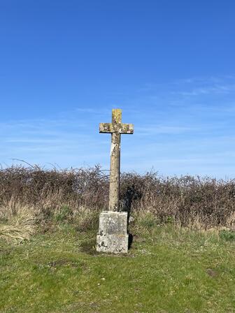
2
3
- 431 meters of difference in height
-
- Start altitude : 478 m
- End altitude : 477 m
- Maximum altitude : 596 m
- Minimum altitude : 346 m
- Total positive elevation : 431 m
- Total negative elevation : -433 m
- Max positive elevation : 79 m
- Min positive elevation : -87 m