CIRCUIT D’AZU (AMSV27)
Foot
in Saint-Romain-sous-Gourdon
9.9
km
Foot
2h 30min
Medium
-
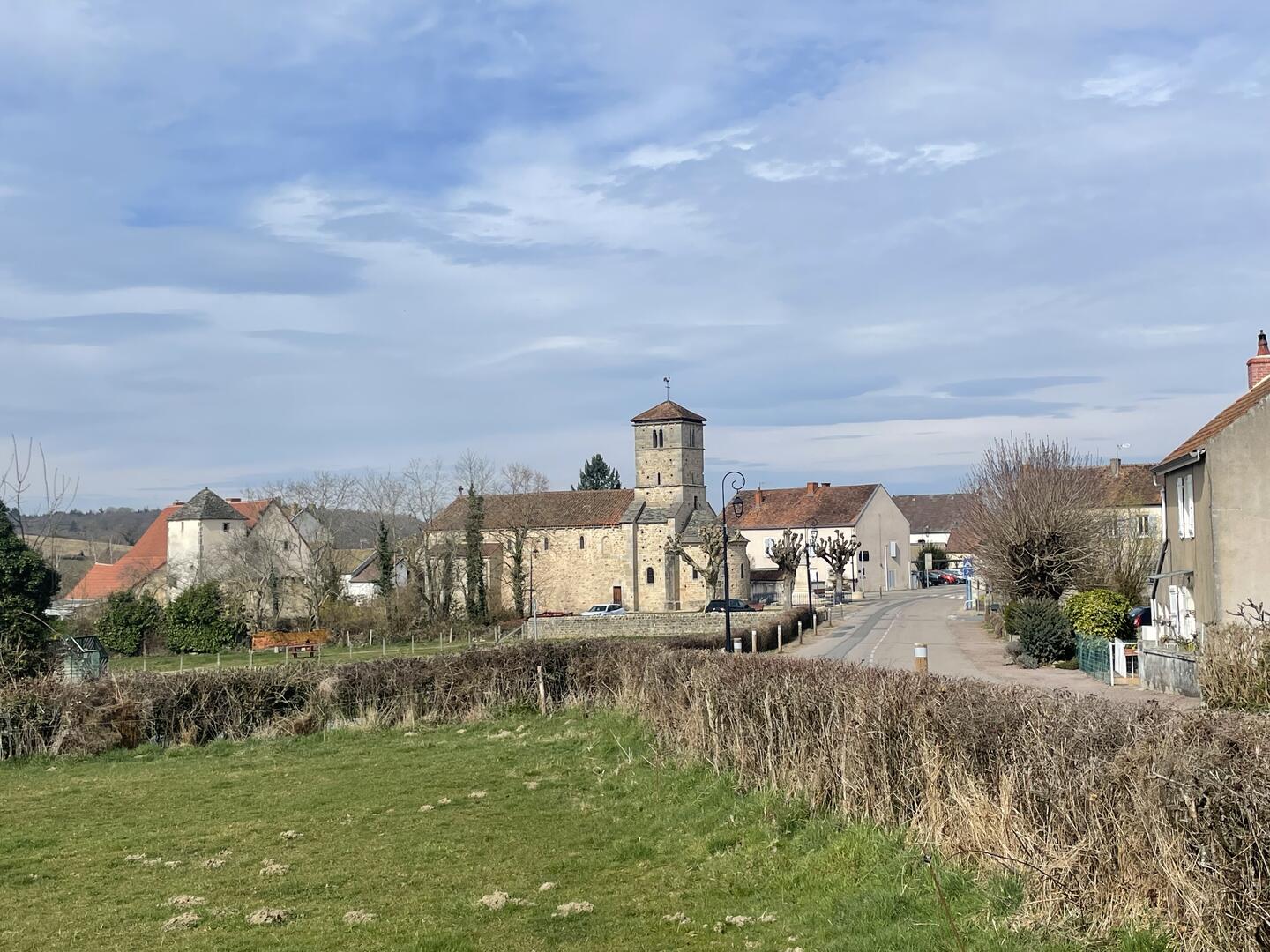
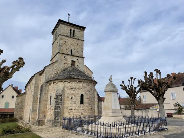
Remaining faithful to its agricultural vocation, the village of Saint-Romain-sous-Gourdon is characterized by rolling, green landscapes. Its entirely Romanesque church, probably built in several phases between the 11th and the end of the 12th century, succeeded a very ancient place of worship, as Merovingian sarcophagi were found on site. Not to be missed: capitals depicting labors and the Nativity, sculpted modillions.
- Departure
- Saint-Romain-sous-Gourdon
-
-
Difference in height
- 263.27 m
-
-
-
-
-
Documentation
- GPX / KML files allow you to export the trail of your hike to your GPS (or other navigation tool)
-

- Points of interest
1
2
- 263 meters of difference in height
-
- Start altitude : 339 m
- End altitude : 339 m
- Maximum altitude : 480 m
- Minimum altitude : 322 m
- Total positive elevation : 263 m
- Total negative elevation : -263 m
- Max positive elevation : 82 m
- Min positive elevation : -75 m